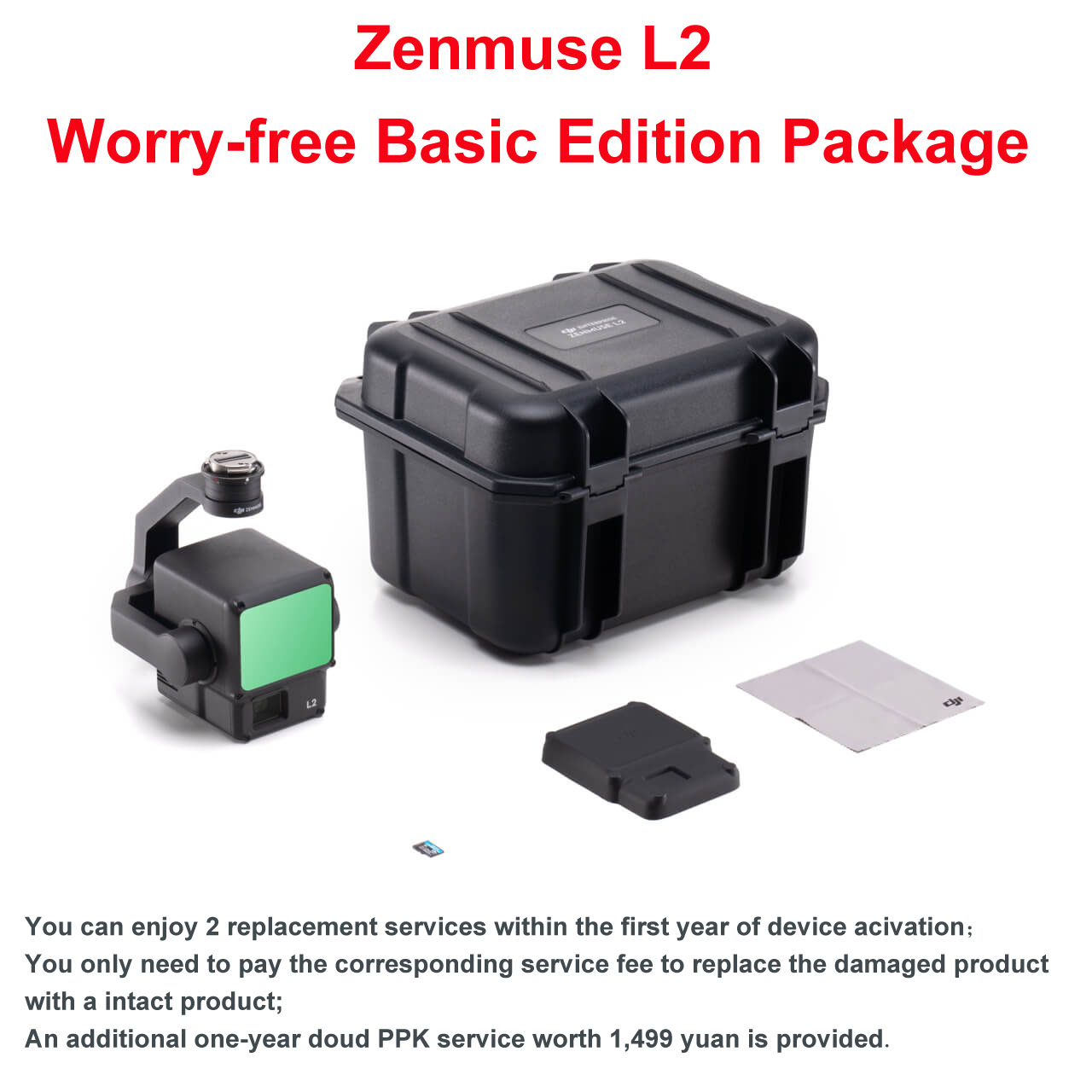
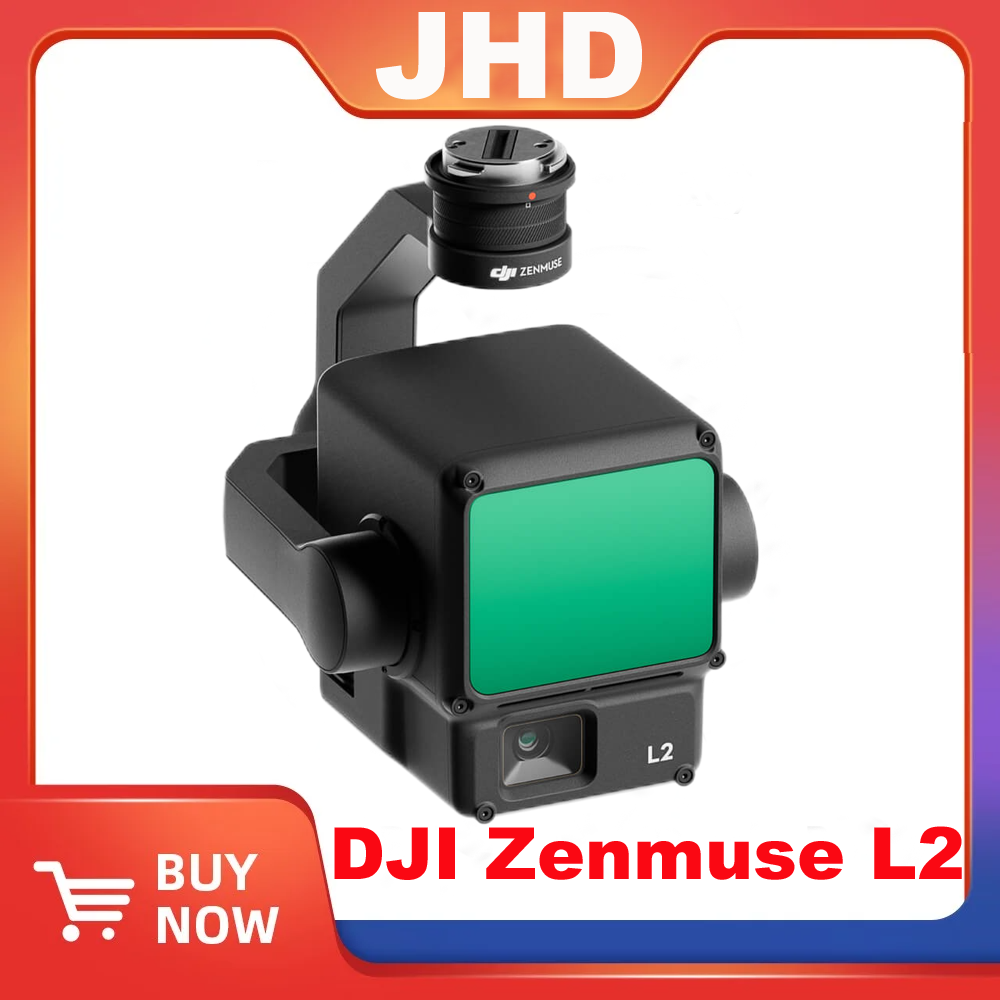
JHD DJI Zenmuse L2 Liar Worry-free Basic Ultimate Edition Package


$17,500.00 – $21,800.00
| Versions | L2 Worry-free Basic Edition Package, L2 Worry-Free Ultimate Edition Package |
|---|
2 cm @ 150 meters
measured at an ambient temperature of 25°C, a target object reflectivity of 80%, and a distance of 150 meters. The specific values are related to the test conditions and are for reference only. Please refer to the actual measurement results.
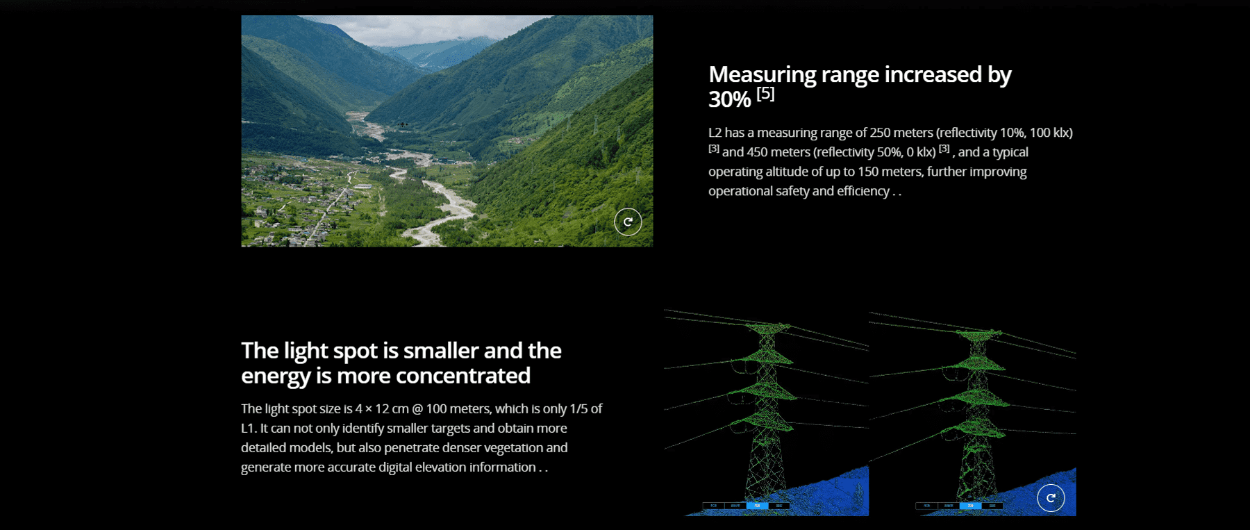
Horizontal 0.2 mrad, vertical 0.6 mrad
are measured under half-width conditions. 0.6 mrad means that the diameter of the laser beam increases by 6 cm for every 100 meters of distance.
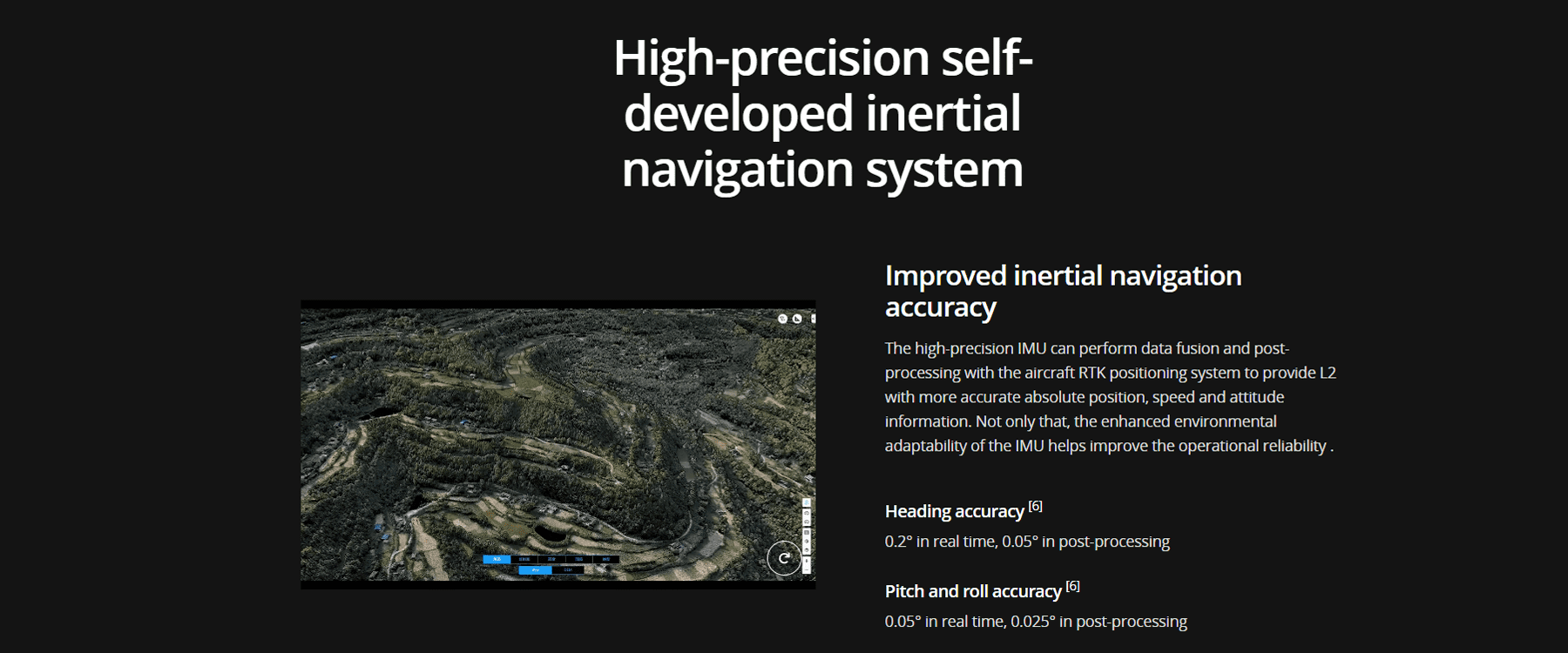
Real-time: 0.2°, post-processing: 0.05°
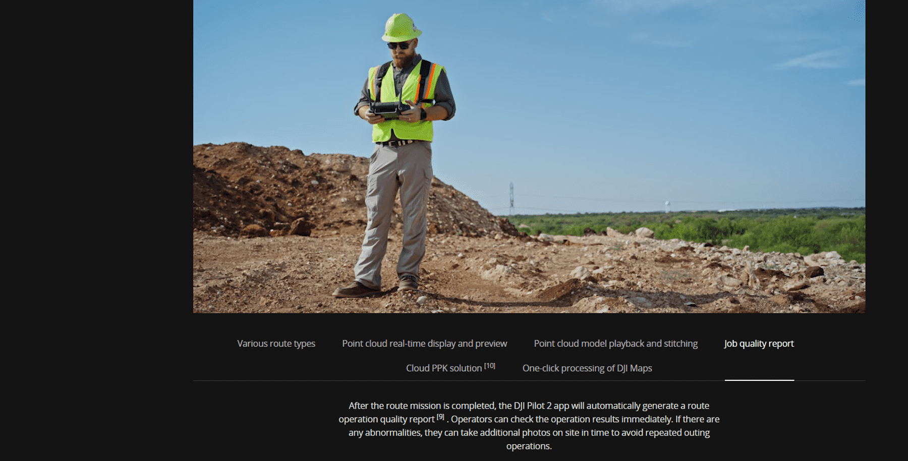
Measured at DJI outdoor experimental site and under the following conditions: Zenmuse L2 is mounted on Matrice 350 RTK and turned on, using DJI Pilot 2’s planar route to plan the route (turn on inertial navigation calibration ), the RTK status is FIX, the relative flight altitude is 150 meters, the flight speed is 15 meters/second, the gimbal pitch is -90°, and each straight line segment in the route does not exceed 1500 meters.
Real-time: 0.05°, post-processing: 0.025°
Measured at DJI outdoor experimental site and under the following conditions: Zenmuse L2 is mounted on Matrice 350 RTK and turned on, using DJI Pilot 2’s planar route to plan the route (turn on inertial navigation calibration ), the RTK status is FIX, the relative flight altitude is 150 meters, the flight speed is 15 meters/second, the gimbal pitch is -90°, and each straight line segment in the route does not exceed 1500 meters.
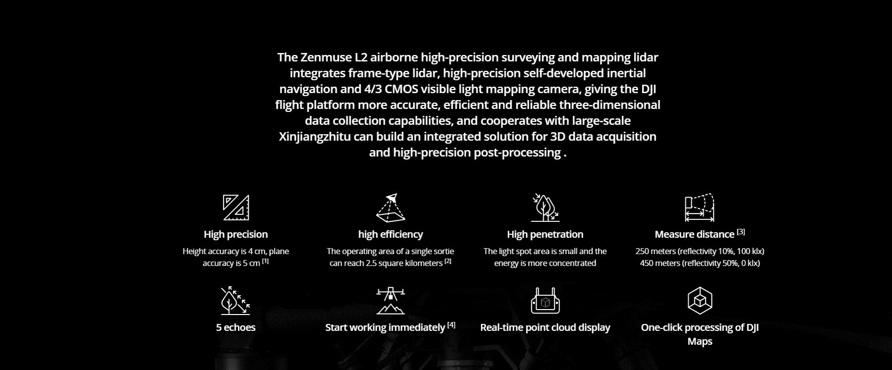
System performance
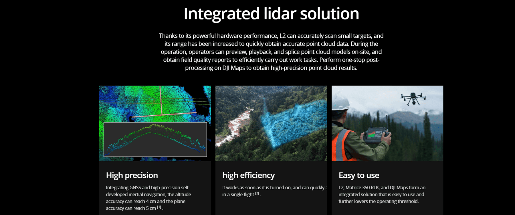
The plane accuracy is 5 cm and the altitude accuracy is 4 cm.
Measured at the DJI outdoor experimental site and under the following conditions: Zenmuse L2 is mounted on Matrice 350 RTK and turned on, using DJI Pilot 2’s planar route to plan the route (turn on inertial navigation calibration) , use the repeated scan mode, the RTK status is FIX, the relative flight altitude is 150 meters, the flight speed is 15 meters/second, the gimbal pitch is -90°, each straight line segment in the route does not exceed 1500 meters, and the angular features of the ground objects are obvious , using exposed hard checkpoints conforming to the diffuse model. Use DJI Maps for post-processing, and turn on point cloud accuracy optimization during processing. Under the same conditions, if point cloud accuracy optimization is not turned on, the elevation accuracy is 4 cm and the plane accuracy is 8 cm.
Field data collection
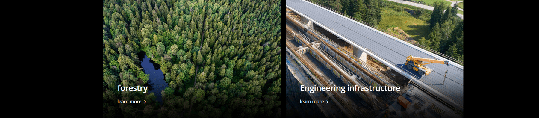
The maximum operating area of a single sortie can reach 2.5 square kilometers.
Measured when Zenmuse L2 is mounted on Matrice 350 RTK, flying speed is 15 meters/second, flying altitude is 150 meters, side overlap rate is 20%, inertial navigation calibration is turned on, altitude optimization is turned off, and ground-imitating flight is not turned on.
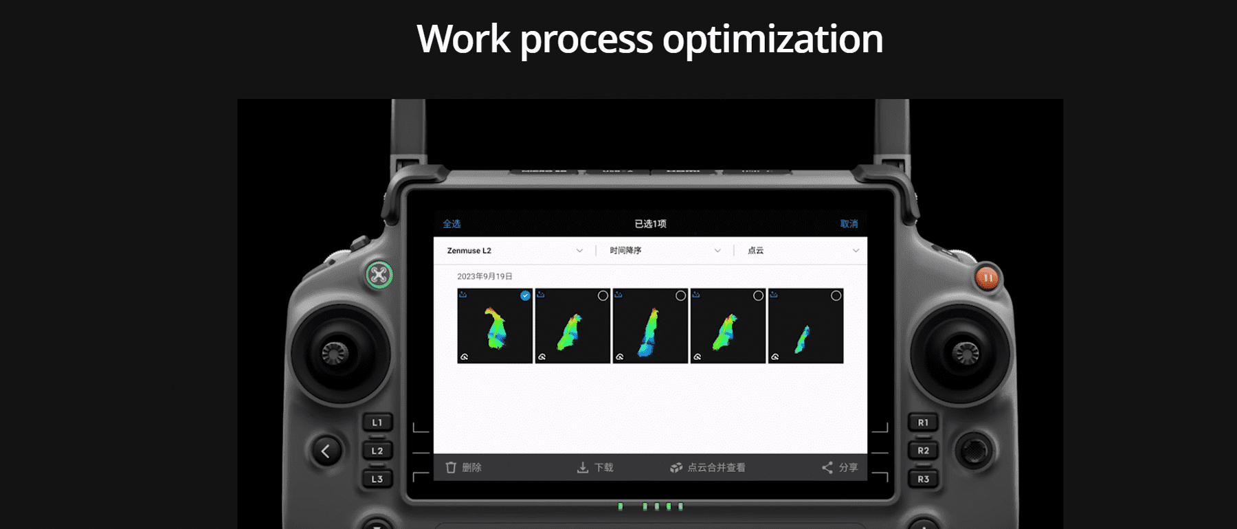
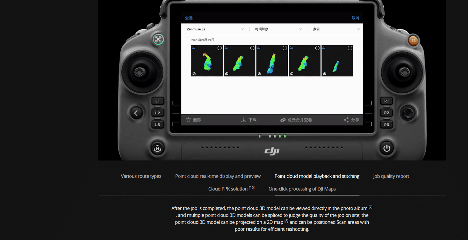
Can. Operators can view the current point cloud collection effect on the real-time point cloud display screen, and can also quickly preview the currently recorded point cloud 3D model. After the job is completed, you can download and view the point cloud 3D model in the album, and perform operations such as splicing multiple sorties of point cloud 3D models.
Model playback, splicing and other operations must be performed while the aircraft and L2 are connected.
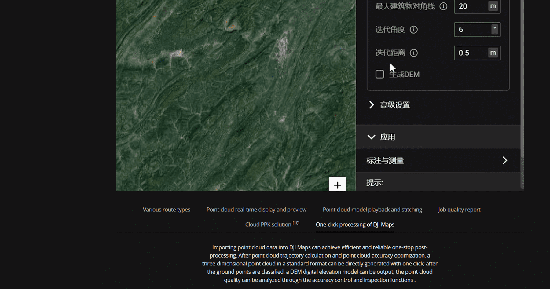
Post-processing applications
The reflectance range is 0 to 255, where 0 to 150 corresponds to 0 to 100% reflectivity under Lambertian diffuse reflection, and 151 to 255 corresponds to total reflection.
The reflectance value is related to many factors such as the surface topography of the ground object, lighting conditions and incident angle, and cannot form a strict correspondence with the absolute reflectance.
Copyright©2025 JHDmart


Reviews
There are no reviews yet.